

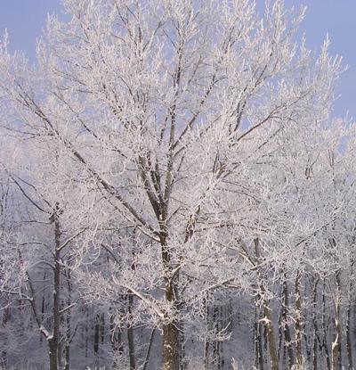

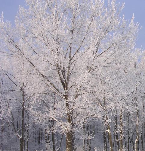
A rare mid-June frost advisory has been issued by the National Weather Service calling for below-freezing temps throughout East Idaho on Wednesday morning.
The weather service is warning the public that temps will be cold enough to "kill sensitive outdoor vegetation if left uncovered."
The mercury is forecast to dip into the low 30s on Wednesday morning in East Idaho's lowlands, including the Preston, Burley, Rupert, American Falls, Aberdeen, Pocatello, Chubbuck, Blackfoot, Fort Hall, Shelley, Firth, Idaho Falls, Ammon, Idaho National Laboratory, Malad, Rigby and Rexburg areas. The higher elevations including the Spencer, Island Park, Ashton, Victor, Driggs, Palisades, Swan Valley, Soda Springs, Lava Hot Springs, Montpelier, Inkom, Downey, McCammon and Arimo areas could experience Wednesday morning temps in the 20s.
"Take steps now to protect tender plants from the cold," the weather service said.
Prior to the arrival of the cold, winds of up to 45 mph are forecast to hit East Idaho on Tuesday afternoon and evening. The weather service has issued a wind advisory to warn the public about the dangerous gusts.
In addition, flood warnings are in effect in Fremont County, including the St. Anthony, Ashton and Island Park areas, and along the Teton River in the Driggs area because of recent rain and snowmelt.
Motorists are being urged not to attempt to drive through flooded areas.
"Turn around, don't drown when encountering flooded roads," the weather service advises. "Most flood deaths occur in vehicles."


(0) comments
Welcome to the discussion.
Log In