

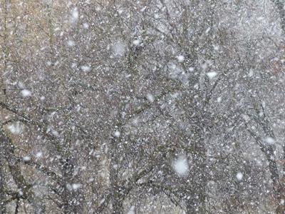
The major winter storm that’s been dumping snow on East Idaho since Thursday night is going to linger in the region a bit longer than expected.
The National Weather Service’s updated winter storm warnings and winter weather advisories issued Saturday morning said the storm will not exit East Idaho until around 5 p.m. Sunday.
The storm caused dozens of wrecks in East Idaho on Friday, especially along the Interstate 15 corridor from Pocatello to the Utah border, but it’s not believed that any of the crashes resulted in serious injuries.
The National Weather Service’s updated winter storm warnings and winter weather advisories for the region on Saturday morning said it’s possible over a foot of a snow could still fall on parts of East Idaho through Sunday afternoon.
The weather service says that until the storm leaves, motorists should expect “difficult travel conditions” because of the snow-covered roads and reduced visibility.
The updated forecast information issued Saturday by the weather service says that the Pocatello, Chubbuck, Blackfoot, Fort Hall, Aberdeen and American Falls areas could all receive significant snowfall and it’s even possible some of these areas could receive up to 6 inches of snow, depending on the storm’s severity.
There have been multiple road closures thus far because of the storm, including the temporary shutdown of Interstate 15 between Dubois and the Montana border on Friday morning and afternoon, and the Friday night to Saturday morning temporary closure of Highway 38 from Malad to Holbrook.
The storm began hitting the Arco, Island Park, Ashton, Spencer, St. Anthony, Driggs and Victor areas on Thursday night, and on Friday morning the snow spread to the rest of the region.
The weather service said the Island Park, Ashton, Spencer, St. Anthony, Driggs and Victor areas could receive an additional 5 inches of snow through Sunday. It’s even possible some of these areas could receive up to 11 inches of snow depending on the storm’s severity.
The weather service said the following areas could receive up to 6 inches of snow through Sunday: Inkom, McCammon, Arimo, Lava Hot Springs, Soda Springs, Grace, Bancroft, Henry, Wayan, Palisades, Swan Valley, Bone, Downey, Swanlake, Thatcher, Malad, Rockland, Arbon, Montpelier, St. Charles, Paris, Georgetown, Franklin, Preston, Malta, Albion, Oakley, City of Rocks, Weston and Dayton.
The weather service said it’s even possible some of these areas could receive up to 14 inches of snow depending on the storm’s severity.
The weather service said the following areas could receive up to 2 inches of snow through Sunday: Idaho Falls, Ammon, Shelley, Firth, Atomic City, Arco, Idaho National Laboratory, Craters of the Moon and Dubois. It’s even possible some of these areas could receive up to 4 inches of snow depending on the storm’s severity.
The weather service said the storm will bring 45 mph winds to East Idaho on Sunday. The winds will drastically reduce visibility, cause snow drifts and make driving a vehicle difficult. A wind advisory has been issued for parts of East Idaho and the gusts are expected to be most powerful along the Interstate 84 and Interstate 86 corridors.
Motorists are being told to expect severe winter weather driving conditions in much of the region.
The weather service stated: “If you must travel, keep an extra flashlight, food and water in your vehicle in case of an emergency.”
Road conditions are expected to be most hazardous on Interstates 15, 86 and 84 and on Highways 20, 33, 26, 30, 89, 91, 34 and 36. Motorists should expect especially dangerous conditions on East Idaho’s mountain passes.
Elsewhere in the state, the only other weather warning currently in effect is a wind advisory in south-central Idaho.
Several severe winter weather warnings resulting from the storm are in effect in Montana, Wyoming, Utah and Nevada. If you must travel to any of those states during the storm, expect lots of snow and hazardous driving conditions.

(0) comments
Welcome to the discussion.
Log In