

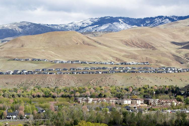
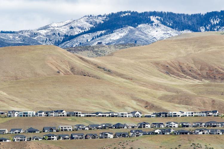
“This spring and summer, every Idahoan will likely feel the impacts of this year’s historically poor snowpack.”
That’s the stark sentiment from the U.S. Department of Agriculture’s recently released water supply outlook for Idaho, in which the federal agency is advising everyone to plan for water-shortage conditions in the coming months.
Though final data is pending, USDA says March appears to have been the warmest on record, which prohibited snowpack accumulation and retention in Idaho and other parts of the northwestern U.S.
Only the highest mountain ranges were cold enough for snowpack to accumulate, and this is despite near-normal precipitation across most of the state.
Snowpack in lower and mid-elevation mountains couldn’t get thick enough to withstand periods of warmer weather without melting. An 11-day heat dome in March was particularly impactful in causing snowmelt, which led to snowpack peaking weeks earlier than normal.
“Although spring weather is notoriously fickle, and we have gotten significant snow accumulation in April in the past, this type of situation is very unlikely this year with warmer than normal temperatures currently forecasted during the next few weeks,” USDA said. “This means that the early snowpack peak and melt we observed in March is likely the seasonal peak as well.”
And it wasn’t just March. All five snowpack-building months — November through March — were significantly warmer this year.
Because snow melted early, water will come earlier in the season and run out sooner, USDA said, adding that it predicts earlier peak river flows, lower flows in late spring and summer and potentially an earlier reliance on stored or alternative water sources.
Drought conditions are also expected to worsen. According to the latest U.S. Drought Monitor data, nearly a quarter of the state is experiencing abnormally dry conditions, including all of Ada and Canyon counties. The rest is under various levels of drought, with the most severe areas being Owyhee, Twin Falls and Cassia counties.
Ada County saw relief from 15 weeks of abnormally dry conditions in early October, though they crept back in early December before ramping up in early February. In the week of Feb. 17, Ada County was back to 100% abnormally dry.
Canyon County saw a similar scenario.
As of the Drought Monitor’s April 16 report, nearly 30% of Gem County is under severe drought, about 5% is experiencing moderate drought and the rest, mostly in the southern portion of the county, is abnormally dry.
Earlier this month, Idaho declared a statewide drought emergency, giving agricultural water users in the state temporary water right changes for the remainder of the year and possibly financial relief from the federal government.
The National Weather Service Climate Prediction Center predicts that an El Niño pattern will start in late spring or early summer, which for the Pacific Northwest typically means warmer and drier conditions than normal.
“In other words, another warm winter could be in our future,” USDA said.

(0) comments
Welcome to the discussion.
Log In