

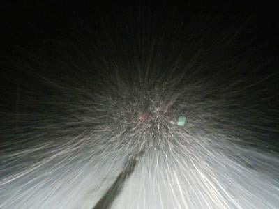

The National Weather Service is urging the public to prepare for potential snow impacts this weekend in East Idaho as unsettled conditions bring precipitation to the region.
Rain will begin falling on East Idaho Saturday morning and will likely continue through most of Sunday, with snow expected in the highlands for the second consecutive weekend, according to the weather service.
A cold front moving through will bring East Idaho snow levels down to 5,500-6,500 feet and possibly as low as 5,000 feet this weekend.
Snow is expected to begin mixing with and changing over from rain in higher elevation areas Saturday evening through at least Sunday morning along Idaho's border with Montana and Wyoming, including Island Park, Spencer and Emigration Summit.
Light snow accumulations of 1-3 inches are expected in these highland areas.
It is possible that East Idaho's lowlands including the Rexburg, Idaho Falls, Ammon, Blackfoot, Pocatello and Chubbuck areas could see some snow flurries this weekend but accumulations of over a half-inch are doubtful.
The main weekend snow impact in East Idaho will be to backcountry users as well as motorists driving over mountain passes, the weather service said.
The weather service advises individuals to be prepared for slick road conditions in East Idaho Saturday and Sunday because of the precipitation.
While the weekend snow forecast to hit East Idaho is not expected to be significant enough to trigger severe weather warnings, parts of the central Idaho mountains including Salmon are under a winter weather advisory calling for snow and winter storm watches are in effect in North Idaho.
Outside of the state, a wide variety of winter weather alerts including winter storm warnings are in effect in Montana and a hazardous weather warning calling for snow has been issued for all of western Wyoming.
Stay with idahostatejournal.com for the latest weather forecast updates.

(0) comments
Welcome to the discussion.
Log In