

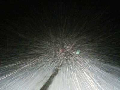
A winter storm warning and winter weather advisories have been issued for all of East Idaho in anticipation of a snowstorm that could dump several inches of snow on the region.
The storm is forecast to arrive on Wednesday evening and continue through Friday morning, creating potentially dangerous driving conditions, especially in higher elevation areas.
"Travel could be very difficult to impossible, especially over mountain passes," the National Weather Service stated. "Consider avoiding travel during the warning period, especially if driving over mountain passes. If you must travel, use extreme caution and keep an extra flashlight, food, water and blanket in your vehicle in case of an emergency. Be prepared for rapid changes in road and visibility conditions depending on elevation.... Allow plenty of extra time to reach your destination."
The weather service added that temperature fluctuations are creating a certain amount of uncertainty in the forecast for East Idaho and some areas could receive rain along with snow, which could result in less snow than expected.
If temperatures are colder, the forecast for snow in East Idaho will hold, but warmer temperatures will obviously mean more rain and less snow.
Under the current forecast calling for snow, the hardest hit areas Wednesday evening through Friday morning are expected to be Henry, Grace, Bancroft, Georgetown, Paris, Bone, Swan Valley, Palisades, Soda Springs, Victor, St. Charles, Montpelier, Wayan, Dubois, Spencer, Island Park, Arco, Craters of the Moon, Idaho National Laboratory, Atomic City and Mud Lake, all of which could receive up to 7 or 8 inches of snow.
The Almo, Malad, Rockland, Arbon, Preston, Thatcher, Malta, Downey, Emigration Summit, McCammon, Arimo, Lava Hot Springs, Albion, Holbrook and Inkom areas could receive up to 6 inches of snow from the storm, while the Rexburg, Rigby, Shelley, Firth, Burley, Rupert, Ashton, Oakley, Pocatello, Chubbuck, American Falls, Aberdeen, St. Anthony, Heyburn, Idaho Falls, Ammon, Blackfoot, Fort Hall, Tetonia and Driggs areas could receive up to 4 inches of snow.
The storm will also be packing winds of up to 30 mph, which could make road conditions even more hazardous.
East Idaho's higher mountains could receive as much as 20 inches of snow from the storm.
Elsewhere in the state, a winter storm warning is in effect in the central Idaho mountains including Mackay, Hailey, Sun Valley and Ketchum, and various winter weather warnings are in effect in Utah, Nevada, Oregon, Wyoming and Montana because of the storm.
Stay with idahostatejournal.com for the latest weather forecast updates.

(0) comments
Welcome to the discussion.
Log In