

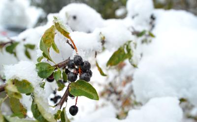
The National Weather Service now says much of East Idaho will not be spared from the wrath of the winter storm that’s dumping significant amounts of snow on Utah, Montana, Wyoming and Nevada.
Initially the weather service said the storm would hit most of East Idaho’s higher elevations with a maximum of 4 inches of snow.
But on Thursday morning the forecast was revised and a winter weather advisory was issued, calling for up to 11 inches of snow in many of East Idaho’s higher elevation areas through Friday afternoon.
By the time the flakes stop falling, the weather service says the storm will have dumped significant amounts of snow on parts of Idaho, Utah, Montana, Wyoming and Nevada.
The mountain snow and valley rain began falling on East Idaho and the central Idaho mountains on Wednesday.
The mountains surrounding Pocatello received up to 5 inches of snow through Thursday afternoon and the snow-covered peaks could be easily seen from the Gate City.
Pocatello and the rest of East Idaho’s lower elevation cities — including Idaho Falls, Blackfoot, Rexburg, Rigby, American Falls and Preston — are forecast to receive rain through Friday night and clear conditions are expected by Saturday afternoon.
The storm is forecast to linger in the higher elevations through the weekend, bringing a mix of snow and rain to many East Idaho mountain communities.
The areas that are expected to get the most snow — up to 11 inches — include Arco, Spencer, Dubois, St. Anthony, Ashton, Island Park, Driggs and Victor.
A special weather alert has been issued for Thursday through Friday morning calling for up to 3 inches of snow in the Inkom, Palisades, Swan Valley, Bone, Henry, Wayan, Bancroft, Grace, Soda Springs, Lava Hot Springs, Thatcher, Montpelier, Georgetown, Paris, St. Charles, Downey, Swanlake, McCammon and Arimo areas.
But as evidenced by the snow in the mountains around Pocatello, the winter weather is likely occurring throughout East Idaho.
The weather service advised Eastern Idahoans to “be prepared for snow-covered roads and limited visibilities, and use caution while driving.”
Anyone out camping or venturing into East Idaho’s backcountry should be prepared for snowy and cold conditions, the weather service said.
Temperatures in East Idaho Friday through Sunday are expected to be unusually cold for this time of year. Daytime highs in the 40s and 50s and nighttime lows in the 20s and 30s can be expected.
The central Idaho mountains including the cities of Challis, Stanley, Ketchum, Hailey and Mackay are also under a winter weather advisory calling for up to 11 inches of snow through Friday afternoon.
No other weather warnings are in effect in Idaho, but multiple warnings have been declared in Utah, Nevada, Wyoming and Montana because of the storm.
A winter weather advisory and hazardous weather alert are in effect in Utah calling for up to 8 inches of snow in that state’s northern and central mountains through Friday but it’s possible the snow could continue falling through the weekend. Utah’s lower elevations are forecast to receive rain.
A winter weather advisory calling for up to 24 inches of mountain snow has been declared in northeastern Nevada through Thursday night.
A winter weather advisory calling for up to a foot of mountain snow through Friday afternoon has been declared in northwestern Wyoming. Nearly all of Wyoming is under hazardous weather alerts calling for significant amounts of mountain snow through the weekend and probably into next week.
A winter storm warning and winter weather advisories have been declared in parts of Montana as well. The winter storm warning in south central Montana along the northwestern Wyoming border is calling for up to 20 inches of mountain snow through Saturday morning, and smaller amounts of snow are forecast to fall elsewhere in the state.
At least in the Pocatello area the skies are expected to clear by Saturday afternoon and no precipitation is currently in the forecast next week. By this coming Thursday, the daytime high temperature in Pocatello is forecast to be nearly 70 degrees.
Let’s hope that forecast holds so we all get a chance to enjoy some fall weather before winter returns.


(0) comments
Welcome to the discussion.
Log In